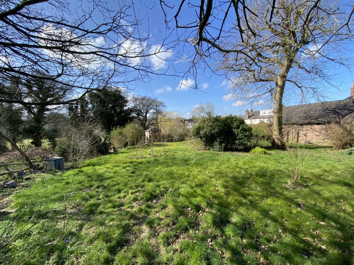
Are groundworks suitable for construction?
When you are looking at developing a building plot, there are many aspects to the ground that you may not be able to see from simply looking at the lie of the land. You can’t see if any services or utilities, such as electrical cables or drainage, pass under the ground surface. You can’t tell if the land is likely to flooding – unless it is currently covered in water – and you can’t easily assess whether the ground conditions are suitable for self-build. Most of these points will need further investigation, either by a specialist land surveyor or by officials who will examine land deeds and the geological history of the site.
Mitigating against flooding
Flood risk is a combination of two factors – the probability and the potential consequences of flooding from all sources. This can include rivers, the sea, directly from rainfall on the ground surface and rising groundwater, flooded sewers and blocked drainage systems, or from overflowing reservoirs, canals or lakes.
Self-building on solid ground
When it comes to flood plains, flood risk and other water-related land problems (such as coastal erosion), the UK government has legislation in place. The National Planning Policy Framework sets strict tests to protect people, property and developers from flooding. All local planning authorities are expected to follow this. Where the tests for suitability are not met, the policy is clear that new development should not be permitted. The main steps are designed to make sure that if there are better sites in terms of flood risk, or a proposed development cannot be guaranteed to be made safe, it should not be permitted.
Land stability is a crucial aspect of any development – some would say the singular most important factor! The government also has clear advice to ensure that ground conditions are suitable for development and how to avoid risks caused by unstable land or subsidence. Land instability can cause an array of problems, including landslides, settlement and ground heave. Failing to deal with instability from the outset can have serious consequences, with the considerable chance of financial and actual damage to human health, local property and its associated infrastructure, and the wider environment, especially if compensation claims are involved.
Planning authorities have an important role to play in considering land stability. They do this by minimising the risk and effects of land stability on property, infrastructure and the public, by helping to ensure that developments don’t occur in unstable locations, or without appropriate precautions. Local planning authorities work with other organisations when it comes to land stability – these include obvious ones such as Building Regulations, but also more specialised ones, such as the Coal Authority (due to public safety risks caused by past coal mining activities), depending on the circumstances.
Prepare to investigate ground conditions
A preliminary assessment of ground instability should be carried out at the earliest possible stage, before any detailed planning application is prepared. If required, information about land stability can be found in geological information held by the planning authority’s own information (including building control records, which may contain previous surveys and records of previous events), local libraries and archives, and information about land usage contained in the National Land Use database, the British Geological Survey (including the national dataset on landslides and mapping and borehole records) and coal mining records held by the Coal Authority,
Where needed, a land stability risk assessment report will present all information obtained from investigations prior to the commencement of any development. All areas of the UK are different. Some soils can be dominated by clay or sand, and especially in Cheshire there is a lot of sandstone rising to the surface. This can be very useful for stability, but a hindrance when it comes to excavation and drainage. The type of land you are developing may have an impact on the type, size and shape, and design of your proposed project, so finding out exactly what lies beneath the surface is an important part of the preparation process.
Interested in building your own home? Talk to us about our complete self-build package.


