Planning for the future – Local Development Plans

In the last part of our series of land blogs, we’re going to look at how Local Development Plans and planners are shaping our communities and building the communities of the future.

Local Development Plans guide development for councils and local authorities, and map out an area’s long-term future. They aim to deliver growth to where it is needed and help to demonstrate the positive impacts development can have on local communities. In the last part of our series of land blogs, we’re going to look at how Local Development Plans and planners are shaping our communities and building the communities of the future.

Space for expansion through local development plans

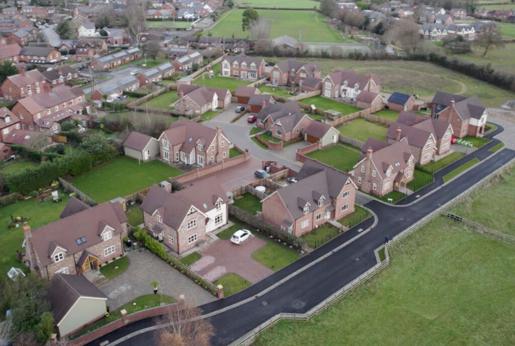
Local Development Plans, or Local Plans, are implemented by councils to demonstrate how areas – from cities and towns, or rural villages – will be permitted to be developed. They provide guidance on where new houses can be built and which areas of land can be built on. Local plans take a number of factors into account – such as local need for new housing, a need for growth, opportunities for expansion, and the availability of spaces to develop. For Cheshire West and Chester for example, ‘in line with legislation (‘15C Levelling Up and Regeneration Act’), Local Plans will set out the amount, type and location of – and timetable for – development. The Local Plan will also include other policies in relation to the use or development of land including infrastructure requirements.’

Meeting our needs

This approach ensures that developments are not permitted where they will place an undue burden on infrastructure – this is particularly true of aspects such as traffic on roads, but also things like utility capability, such as sewerage and water supply, or broadband coverage. Feasibility studies and surveys will have to be carried out, so that every consideration is taken in how and where land is developed. In this way, villages can be expanded, as their county boundaries grow and populations rise.

In recent years we’ve seen some building in rural areas, to meet an increased demand for housing outside urban environments. The rise in remote working and hybrid working, post-pandemic have had some impact on this. New policies have been developed to account for these changes and also to tailor developments to meet modern needs. Infrastructure has been key to this, but it also feeds into the new government’s pledge to build. So Local Plans are shaping our villages and towns and our futures in all kinds of positive ways.

Suitability and sustainability

The suitability of land for development is obviously a key factor in which locations are opened up for purchase, planning and building. In urban areas, aspects such as infrastructure will be much easier to integrate and shape around developments. But rural developments can bring with them a whole range of challenges and hurdles that will need to be navigated.

The condition of the land is one of the most obvious – whether the land is prone to flooding, for example. This may mean that work will have to be carried out to make the land safe, with flood defences or drainage diversions for instance. Access and infrastructure can also be challenges that need surmounting, but with careful work and planning – new access entrances, wider infrastructure improvements – these can be solved.     

Councils have information regarding planning policy available on their website – Cheshire West and Chester’s is accessible here – and include a wide range of planning information, such as neighbourhood planning, a Brownfield land register, and self-build and custom house building register, and a design code. Aspects such as sustainability are also having to be taken into consideration too, so that the newest developments maximise the most modern thinking and technology, both in their construction and their lifetime.      

If you own land, in Cheshire or close by, that you think might be suitable for development, please get in touch with us.
On your doorstep – the importance of a site’s location

As an integral part of its housing strategy, the new government has made building a priority. We’ve looked at how the building planning process is changing, to encourage more houses to be built, and more permissions to be granted. One of the key issues is the location, where these new homes will be sited.

It’s important that new housing developments feel part of their local area, enhancing both the environment and the community, and making them attractive places to live. Making the most efficient use of the land available is also important, so in this blog we’re going to look at the positive impact new properties can have on communities in all kinds of ways.

Building for convenience and community

When planners are considering new development applications, one of the things they look at is the impact it will have on the area. Ideally, new properties should have readily available amenities nearby. This can be shops, such as a general store or newsagent, but can also be schools and easy access to a doctor’s surgery. Having these offerings and services on your doorstep will make a big difference to how attractive new developments are to potential buyers. The approval of new housing development also encourage investment into an area and amenities such as community hubs and cafes can spring up as a result.

Connectivity is another aspect to look at when exploring sites for new homes. The road network, particularly in rural areas, was originally designed for less traffic that it takes nowadays. But it can usually cope with a degree of development, as it is often only certain times of day – the rush hour periods and school run for example – where roads can sometimes become congested. Improvements to roads can often be incorporated into new developments, with junction upgrades or pedestrian crossings, for example. Aspects such as drainage and sewer output will also have to be taken into account, as more houses will increase the capacity required.  

Staying connected

Being on a bus route or near a railway station are also positives when looking at siting new developments. A good bus or train route can make up for a lack of amenities on your doorstep. It’s also essential for residents who don’t drive or own their own car, schoolchildren or elderly people for whom services close by are so important. Planners have to take all these factors into account, so that developments improve communities.

A location designed for living

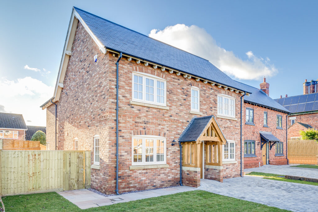
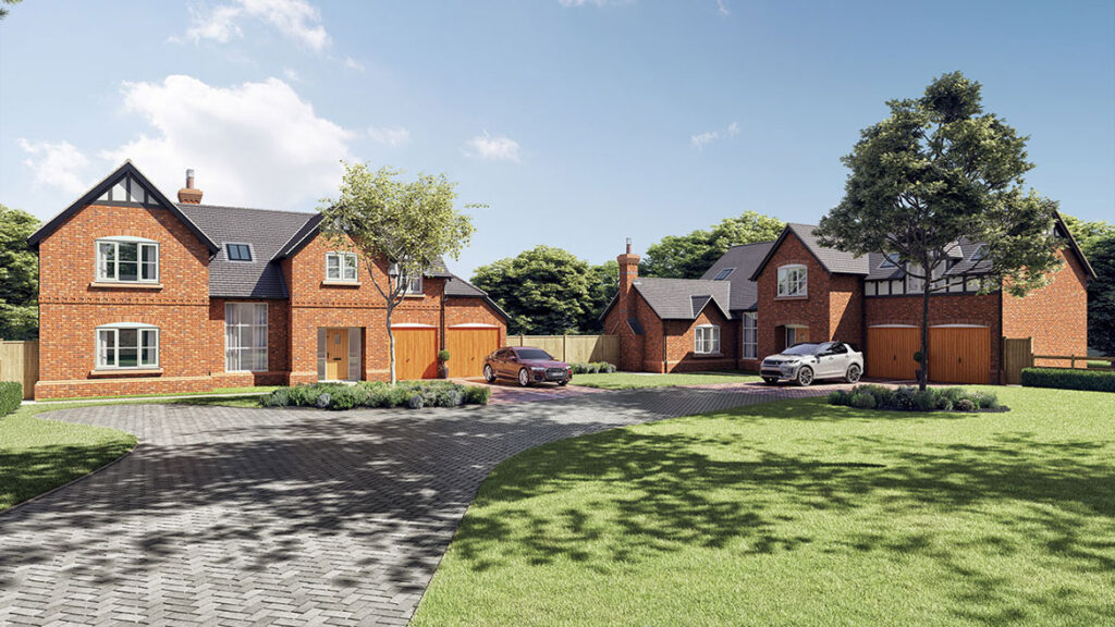
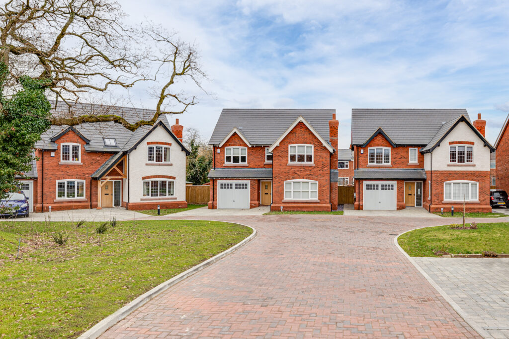
The types of properties included in developments should reflect community needs and demand. High-quality developers strive to make the most of the acreage available, so efficient and imaginative design is an essential part of their developments. The designs should also match the needs of the area too. For our developments, we design homes that people fall in love with and want to live in. We mix traditional styles with modern materials and knowhow, to create our take on country living of the highest quality.

At CB Homes, we transfer that ethos into all of our properties, be they rural, urban or suburban. We design properties that make the maximum use of the land available.

When it comes to developments, the possibilities are endless. Sometimes we are designing large family-style detached properties, but often on multiple-property developments, mews-style or semi-detached dwellings make more sense – both from a building perspective (shared walls, adjoining roofs, less materials, uniform design) and for buyer appeal too (affordability, sense of community, attractiveness of design).

We have also incorporated apartments in some of our developments where ground space is often at a premium. It’s also important to take into account access and mobility issues – single-level living areas, for example, for residents with accessibility challenges, such as the elderly, infirm or people with disabilities. It’s about getting the balance right between building a house and making a home, and many factors feed into the ideal plot’s location.

If you own land, in Cheshire or close by, that you think might be suitable for development, please contact us today.

Rights and boundaries to a plot of land: Know your limits

If we are looking at buying a plot of land or we want to sell our land at any point, we need land borders to be clearly defined. It’s often when a land sale takes place that changes to boundaries come to light – but by then it may be too late to do anything about it.

How to identify boundaries of a plot of land

If we are looking at buying a plot of land or we want to sell our land at any point, we need land borders to be clearly defined. It’s often when a land sale takes place that changes to boundaries come to light – but by then it may be too late to do anything about it.  Perhaps the most contentious aspect of any land ownership is the exact extent of a plot and who has access to it.

Registered land ownership

Land registers are where a plot’s extent is recorded, but the real world is seldom like line drawings, plans and maps. HM Land Registry will tell you exactly who owns a piece of land, but the exact perimeter may still be up for discussion or heated debate. Fences are erected, walls are built and hedges and trees grow. Over time, the borders between properties can become blurred and the exact point where one starts and another ends can be difficult to see.

In England and Wales, often there’s no record of the exact boundary between neighbouring properties, or who owns a division such as a hedge, party wall, fence or tree (party walls are walls which you share with your neighbours in a terrace or semi-detached, but they can continue outwards to become boundary walls). Boundaries are set by the deeds of the property. You can contact the Land Registry to get the exact boundary determined, but if your neighbour disagrees with you on where it is, this can be an expensive and time-consuming process.

Pushing the boundaries

Usually, a change of land ownership will have to be done with a sale of the land. But there are instances when land ownership can change subtly, like when someone moves a fence when a new set of panels are fitted and pinches a few inches of land. If this is done blatantly, it can amount to a foot or a metre. And if you don’t complain – or even notice it, there may be plants for example obscuring it – for a period of time, they could then legally claim to be the owners and occupiers of the land. That’s when things get complicated, as you have to prove that the strip of land now on their side of the border used to be yours. A dispute of this kind can prove costly and often take years to resolve, which is no help if you are looking to sell your land in the interim.

Adverse possession

This type of land ownership is called ‘adverse possession’, where land is stealthily appropriated for longer than 10 years by someone other than its owner. It happens more often in rural areas, where boundaries are less clearly defined, and often happens when gardens border onto fields, hedgerows, heath or moorland, or parcels of woodland. The area at the bottom of the garden can become adopted as the landowner’s own – garden waste and grass cuttings might be dumped there, for example, which enables the perimeter to creep into the farmland. You sometimes see this type of encroachment on canals too, where narrow boats with more established moorings begin to set down roots on the riverbank, with the pitching of tables and chairs, etc. Eventually the encroachment becomes permanent and part of the landowner’s property. 

Rights of way

Another challenge to land ownership can be with shared spaces and ones that grant rights of access. A shared garden or courtyard is everyone’s to use and so cannot be sold as part of a single property. Any owner would have to understand that outdoor space was a shared commodity. This includes shared driveways too.

Often a piece of land has a granted access to the public. People have a right to access land for walking, or certain other leisure activities. The public always have access to public roads and pavements (this includes narrow lanes and unnamed roads, if they are not private) or public rights of way, for example footpaths or bridleways. People can exercise their ‘right to roam’ on open access land, including mountains, moors, heaths, downs, common land and some land around the Coast Path too.

You can also access private land if the land used to be a public right of way in the past (you can check this on old maps and documents), the land has been accessed by the public for at least 20 years and nobody has asked them to stop, or the landowner has granted ‘permissive access’. Any access points will need to be clearly defined, so that access doesn’t become trespass. This will all need to be stated clearly however when the land is sold into new ownership and a professional land buyer will know what to do and where both buyers and sellers stand.  

Any of these disputed or contentious aspects regarding land and boundaries can cause problems when it comes to selling a piece of land or a property with land around it. It’s always a good idea to appoint someone who knows the ins and outs of land sales and ownership. If you think the land you have has issues with its boundary or access, CB Homes can help with this. We are always on the lookout for suitable land to purchase – whether a small single plot, a large site or a redundant building with land around it. If you’d like guidance and advice on a land sale, then contact us today.